hiking Holidays in the oisans
hiking Holidays in the Oisans and ecrins Region: The Ultimate Guide
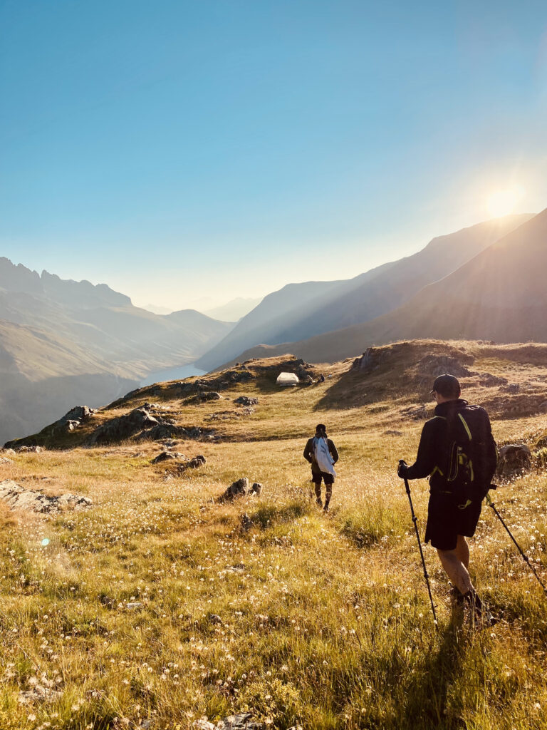
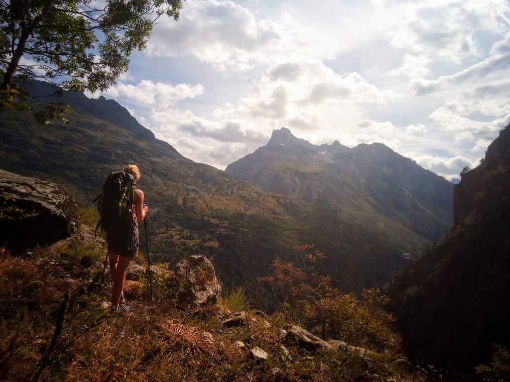
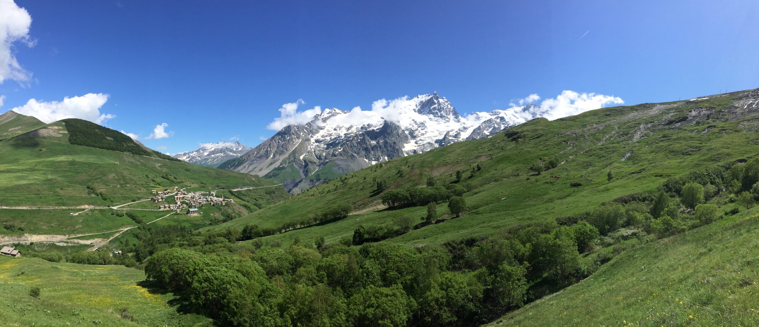
Hiking in the Oisans and Northern Ecrins is an unforgettable experience that offers stunning views of this wild corner of the Alps. This region boasts some of the most beautiful mountain landscapes in Europe and is a favorite among hikers and mountaineers alike.
The Oisans is a region in the French Alps that is known for its high peaks and deep valleys. It is home to some of the most challenging and rewarding hikes in Europe, including the famous GR54 trail, which circles the entire region. The Northern Ecrins, on the other hand, is a section of the Ecrins National Park, which covers an area of over 90,000 hectares. This region is home to some of the most dramatic peaks in the French Alps, including La Meije, which towers over the surrounding landscape at 3,984 meters.
In the Northern Ecrins, one of the most popular hikes is the ascent of the Col de Vallon. This loop is known for its steep climbing, but the views from the col are some of the most breathtaking in the entire region. The climb to the summit is challenging, but the rewards are well worth the effort.
For those looking for a less strenuous hike, the Ecrins National Park offers many scenic walks and shorter hikes. One of the most popular is the hike to the Lac du Lauvitel, a beautiful lake surrounded by towering mountains and waterfalls. The hike is relatively easy and is suitable for hikers of all skill levels.
The best time to hike in the Oisans and Northern Ecrins is during the summer months, when the weather is warm and the trails are clear. However, even during the summer, the weather in the mountains can be unpredictable, so it is important to come prepared with appropriate gear and clothing.
Hiking in the Oisans and Northern Ecrins is a must-do for anyone visiting the French Alps. The region offers some of the most spectacular mountain landscapes in Europe, and the hikes range from easy walks to challenging climbs. Whether you are a seasoned mountaineer or a casual hiker, there is something for everyone in this beautiful region of France.
Le Lac Lauvitel
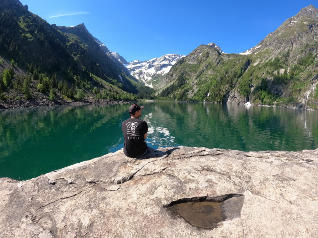
If you are looking for a family-friendly hike in the Ecrins National Park, the trail up to Lac Lauvitel is a must-do. This scenic hike is a great introduction to the beauty of the French Alps, and it’s accessible for hikers of all skill levels.
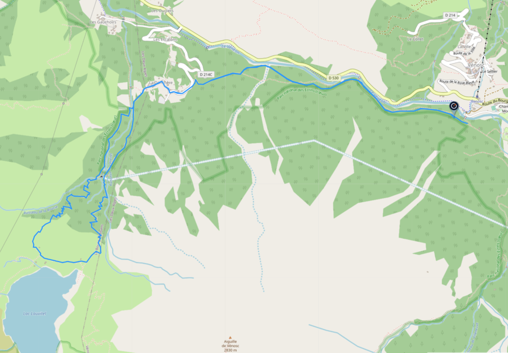
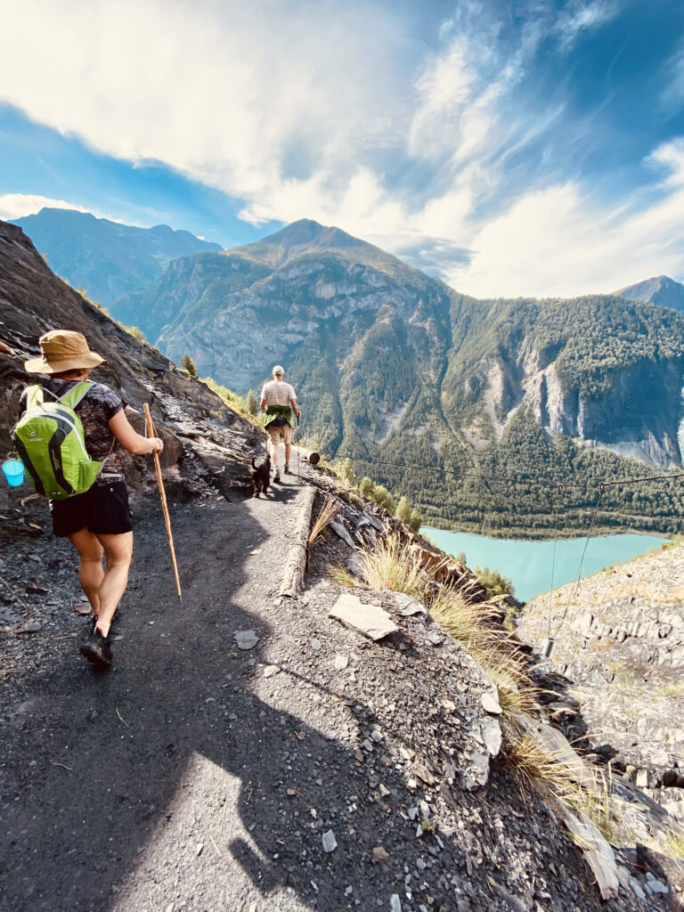
The hike starts in the village of Venosc and takes around 2-3 hours to reach the lake. The trail is well-marked and easy to follow, and it winds through dense forests and along the banks of the Veneon River. As hikers continue along the trail, they will be rewarded with stunning views of the surrounding mountains and valleys.
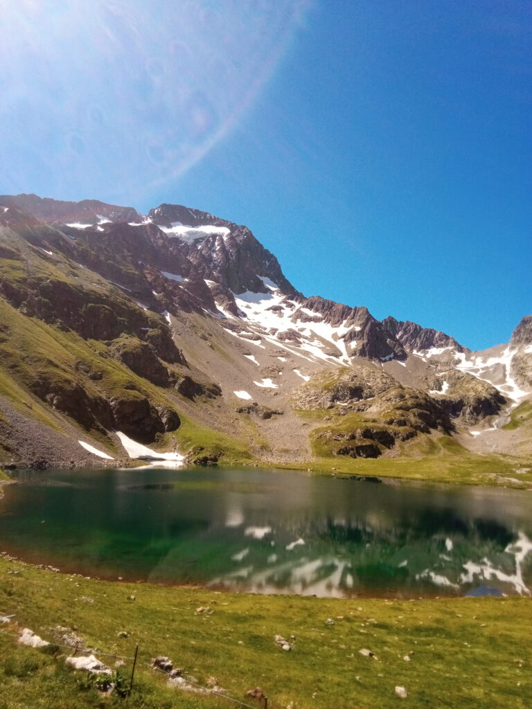
After about two hours of hiking, hikers will arrive at Lac Lauvitel. This beautiful turquoise lake is surrounded by towering mountains and glaciers, and it’s the perfect spot for a picnic lunch. Hikers can relax on the shore, take in the breathtaking views, and spot fish swimming in the crystal-clear water.
For families with kids, Lac Lauvitel offers plenty of opportunities for exploration. Children can play on the pebbly shore, dip their toes in the water, and even spot some marmottes foraging amongst the meadows.
As hikers start their descent, they will be treated to even more stunning views of the surrounding Rousses and Taillefer ranges. They can see all the way back down the valley to the village of Bourg D’Oisans and take in the beauty of the region.
Overall, the hike up to Lac Lauvitel is a wonderful family experience that should not be missed. With its well-marked trail, stunning scenery, and peaceful atmosphere, it offers a great introduction to the beauty of the French Alps. Whether you’re an experienced hiker or just starting out, this hike is a must-do for any family visiting the Ecrins National Park.
You can find the route and download the GPX here


2-3 hrs
550 m
Easy
Hiking holidays in the Oisans
Cime de la Coche
If you’re looking for a challenging yet rewarding hike in the Northern Ecrins, then the Cime de la Coche trail is a great option. Starting at Plan du Lac near St Christophe, this trail takes hikers up to the summit of Cime de la Coche, offering stunning views of the surrounding landscape.
The hike up Cime de la Coche is considered to be a difficult trail, with steep inclines and rocky terrain. However, the effort is worth it for the incredible views that can be enjoyed along the way. From the summit, hikers can see the nearby Muzelle mountain and the Cascade de la Muzelle waterfall.
The trail starts at Plan du Lac, which can be reached by car. Hikers will can park at the Plan du Lac parking, or walk from Bourg D’Arud and then follow the trail markers for Lanchatra up towards the cime. The first part of the trail is relatively easy, winding through a forest before starting to climb more steeply with a cable towards the cime.
As hikers approach the ridget, the trail becomes more challenging, with rocky terrain and steep inclines. However, the views of the surrounding mountains and valleys make the effort worthwhile. From the summit, hikers can enjoy panoramic views of the Ecrins National Park.
After taking in the views from the Glacier Muzelle, hikers can make their way towards the the Refuge Muzelle. This mountain hut offers a great spot to stop for lunch and take a break from the hike. Hikers can refuel with some food and drink while enjoying the stunning views of the nearby mountains.
After lunch, hikers can start their descent towards Bourg d’Arud. This part of the trail takes hikers along a rocky path with views of the Cascade de la Muzelle waterfall. The trail is steep and challenging, so hikers should take care and watch their footing.
Overall, the Cime de la Coche trail is a challenging but rewarding hike that offers stunning views of the Northern Ecrins. With its steep inclines, rocky terrain, and panoramic views, this trail is a must-do for experienced hikers looking for a challenge. Just be sure to bring plenty of water, sturdy hiking shoes, and a camera to capture the incredible views.
Balcon des Perrons
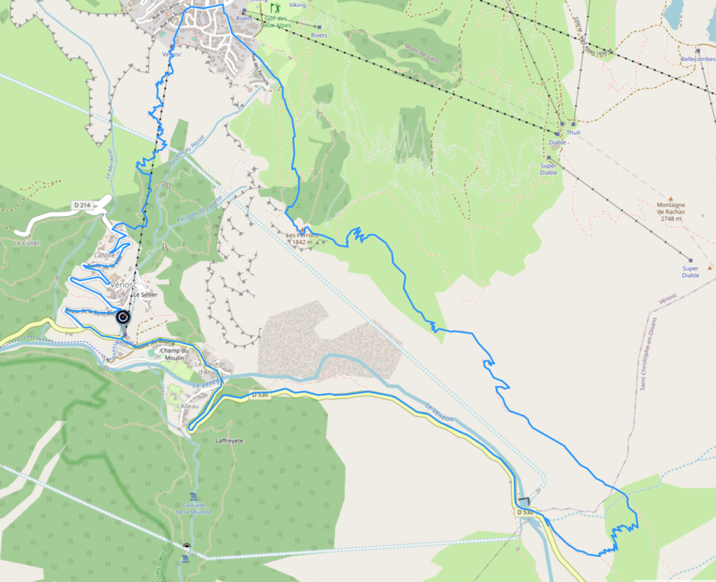
The Balcon des Perrons route is a popular hiking trail in the Ecrins National Park that offers stunning views of the surrounding mountains and valleys. The trail starts in the village of Venosc and takes hikers up to Plan du Lac before continuing on to the Block and Les Deux Alpes. From there, hikers can descend down the Chemin de l’Alpe back to Venosc.
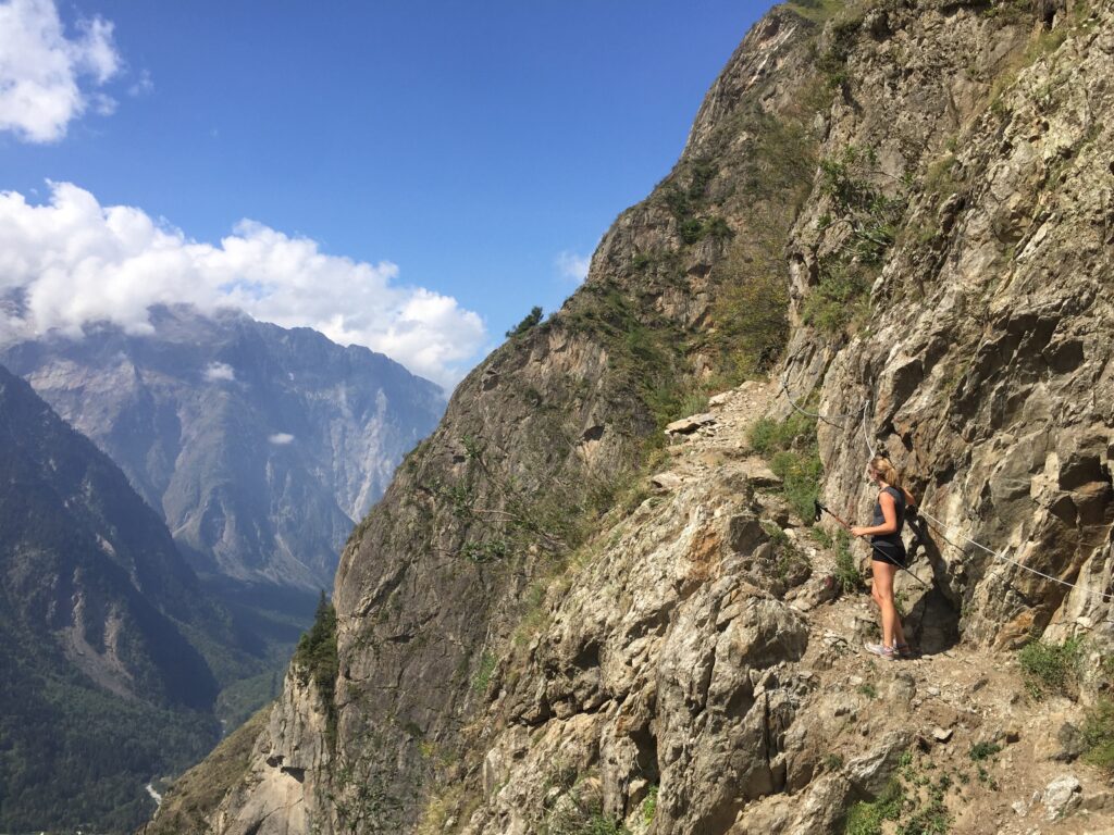
The trail is considered to be a moderate hike, with some steep inclines and rocky terrain. You’ll also need a head for heights, as the cliffs of the Perrons are not for faint hearted. However, the views along the way make the effort worth it. From the start of the trail in Venosc, hikers will follow the trail markers up towards Plan du Lac, along the banks of the Veneon River.
Once hikers reach Plan du Lac, they can take a break and enjoy the beautiful views of the surrounding mountains. From there, the trail continues up towards the Balcon, offering even more stunning views of the Ecrins National Park.
After passing the balcon, hikers can stop for a well-deserved break at Les Deux Alpes. This popular ski resort offers plenty of restaurants and cafes where hikers can grab a drink and refuel before continuing on with the trail.
From Les Deux Alpes, hikers can continue on the trail by following the Chemin de l’Alpe down towards Venosc. This part of the trail is less steep than the earlier parts, and it offers beautiful views of the valley below.
Overall, the Balcon des Perrons trail is a great option for hikers looking for a moderate hike with stunning views. The trail can be completed in around 4-5 hours, depending on the pace of the hikers. It’s recommended to bring plenty of water, snacks, and sunscreen, as well as sturdy hiking shoes. Don’t forget to bring a camera to capture the incredible views along the way!
You can find the route and download the GPX here


6 hrs
900 m
Medium
Col de Souchet
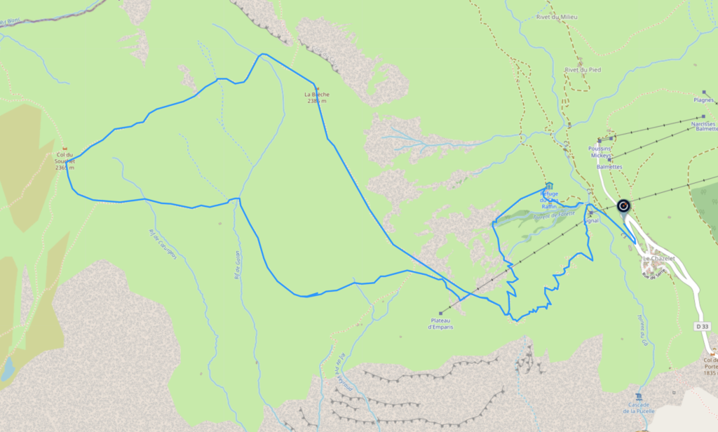
The Col de Souchet route is a popular hiking trail in the French Alps that offers stunning views of La Meije and the glaciers of Les 2 Alpes. The trail starts in the small village of Le Chazelet and takes hikers up to the Col de Souchet through alpine meadows to the Plateau D’Emparis.
The hike is considered to be a moderate trail, with some steep inclines, but mostly over grassy meadow. However, the effort is worth it for the incredible views and peaceful surroundings. From the start of the trail in Le Chazelet, hikers will follow the trail markers up towards the Col de Souchet.
As hikers make their way up the trail, they will pass through beautiful alpine meadows, where they may encounter some of the local alpine cattle. These cattle are a common sight in the area and can often be seen grazing in the fields.
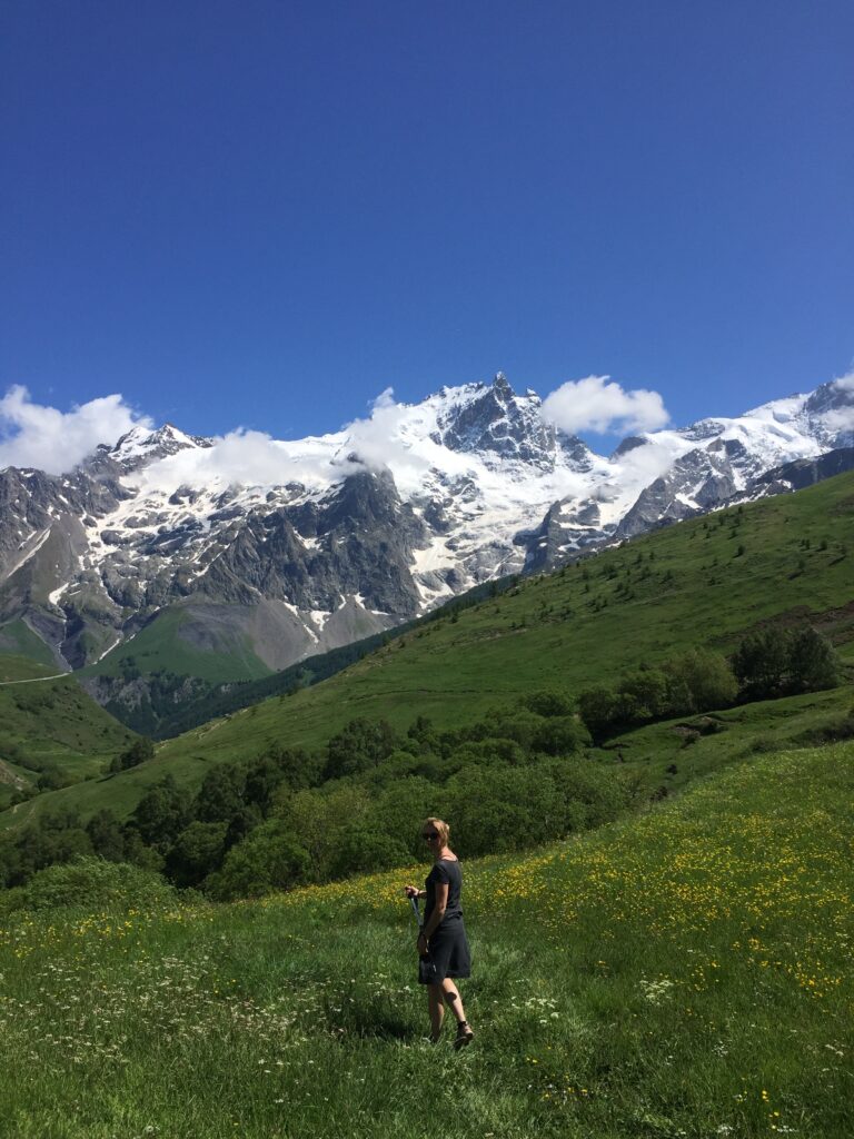
Once hikers reach the Col de Souchet, they will be rewarded with breathtaking views of the surrounding mountains, including the stunning La Meije across the valley. The Col de Souchet is a great spot to take a break and enjoy the scenery before continuing on with the trail. The lucky hiker may will see a Bearded Vulture circling above, as they are known to nest in the cliffs of the Plateau.
From the Col de Souchet, hikers can start their descent in a loop through the alpine meadows of Le Chazelet. This part of the trail offers more opportunities to spot alpine cattle and take in the stunning views of the surrounding mountains.
As hikers make their way back towards Le Chazelet, they will pass through some small villages and may have the chance to stop at a local cafe or restaurant for a drink or a bite to eat.
The Col de Souchet route is a great option for hikers looking for a moderate hike with stunning views and peaceful surroundings. The trail can be completed in around 4-5 hours, depending on the pace of the hikers. It’s recommended to bring plenty of water, snacks, and sunscreen, as well as sturdy hiking shoes. Don’t forget to bring a camera to capture the incredible views along the way!
You can find the route and download the GPX here


4 hrs
700 m
Medium
Col de Vallon
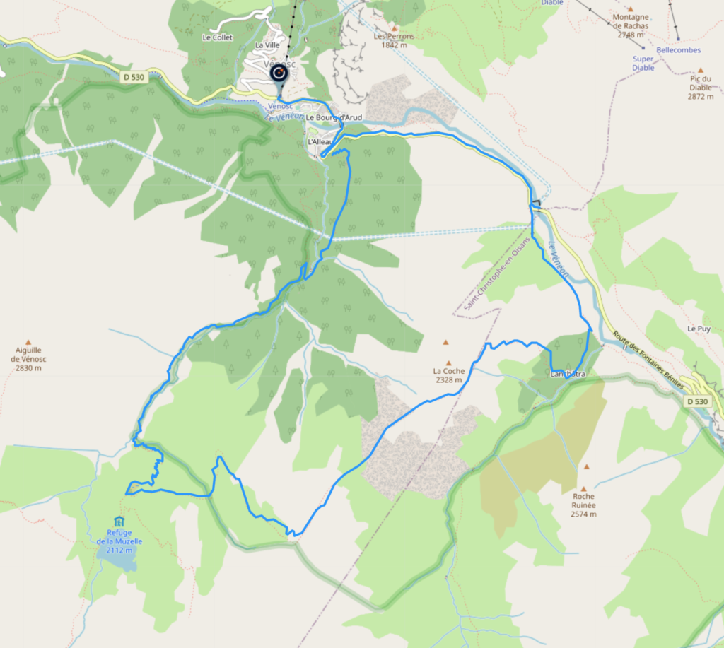
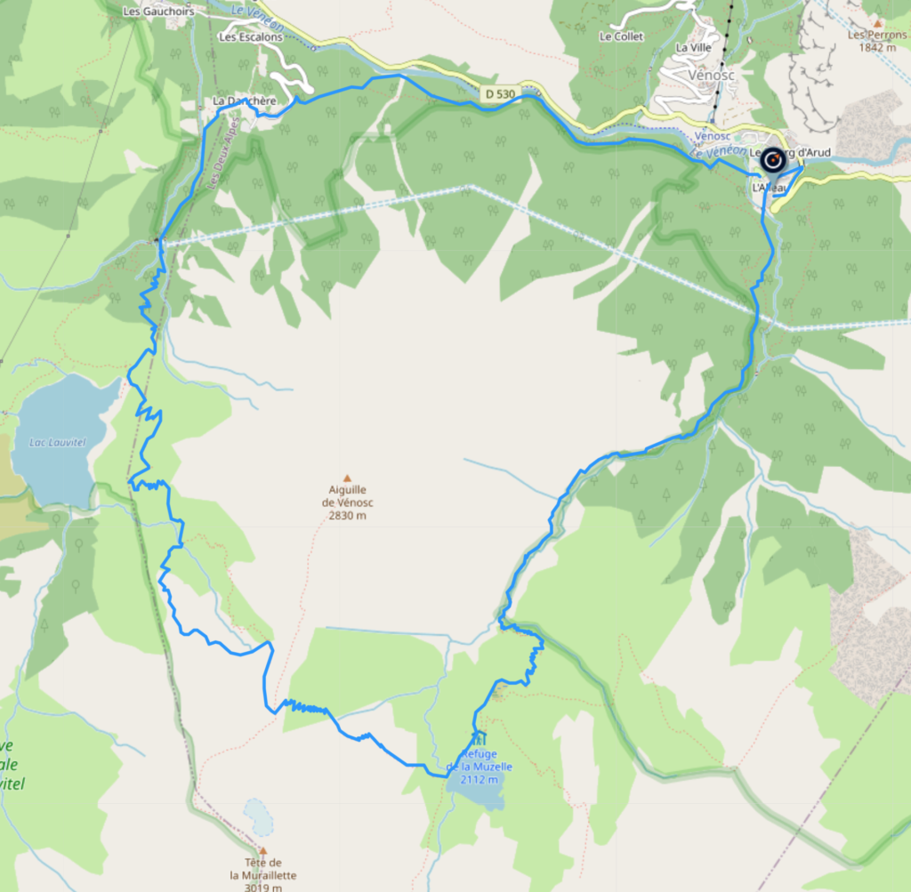
The Col de Vallon trail is a challenging yet rewarding hiking route in the French Alps that offers stunning views of the surrounding mountains and valleys. The trail starts in the village of Bourg d’Arud and takes hikers up to the Col de Vallon, passing through beautiful alpine meadows and forests, and offering the opportunity to swim in the Lauvitel lake.
The hike is considered to be a difficult trail, with a steep incline towards the Col de Vallon. However, the breathtaking views and refreshing swim make the effort worth it. From the start of the trail in Bourg d’Arud, hikers will follow the trail markers up towards the Refuge de la Muzelle.
As hikers make their way up the trail, they will pass through beautiful alpine larch forests, where they may encounter some local wildlife such as marmottes. Its worth stopping at eh refuge for a tarte myrtille, before continuing up the steep trail towards the Col de Vallon, which is the highest point on the hike. From there, hikers can take a break and enjoy the stunning panoramic views of the the Muzelle, and down the valley towards the Oisans.
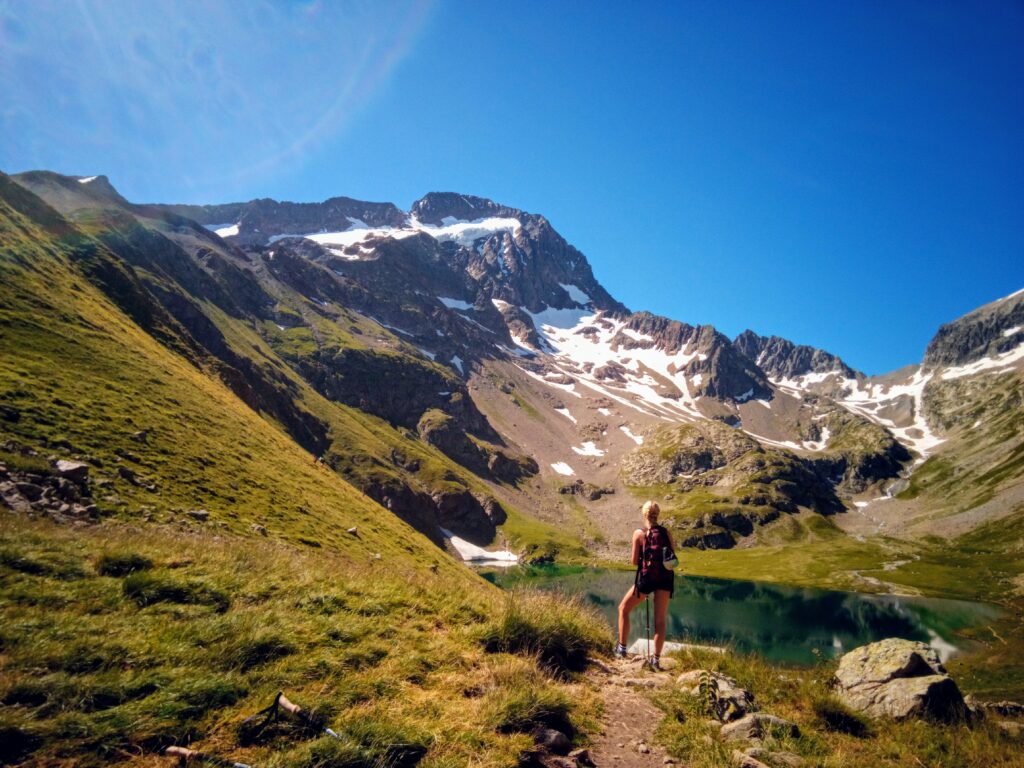
After reaching the Col de Vallon, hikers can continue on towards the Lauvitel lake. This picturesque lake is the perfect spot for a refreshing swim or picnic, surrounded by the stunning natural beauty of the area.
From the Lauvitel lake, hikers can start their descent back towards Bourg d’Arud. This part of the trail follows the Veneon river, offering more opportunities to take in the stunning views and enjoy the peaceful surroundings.
As hikers make their way back towards Bourg d’Arud, they may pass through the village of La Danchere, and may have the chance to stop at a local cafe or restaurant for a drink or a bite to eat.
The Col de Vallon route is a great option for experienced hikers looking for a challenging hike with stunning views and a refreshing swim. The trail can be completed in around 6-8 hours, depending on the pace of the hikers. It’s recommended to bring plenty of water, snacks, and sunscreen, as well as sturdy hiking shoes. Don’t forget to bring a camera to capture the incredible views along the way!
You can find the route and download the GPX here


6-8 hrs
1800 m
Hard
Gorges de Rochail
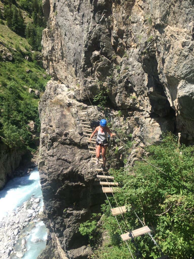
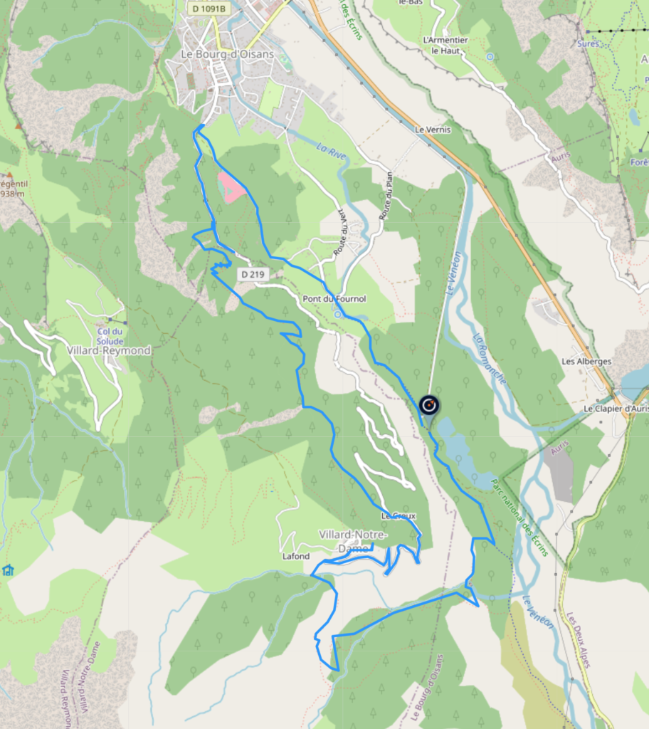
The hike from Lac Buclet up the Gorges de Rochail, over the Himalayan bridge, and finishing for lunch in Villard Notre Dame is a truly exhilarating experience. The hike offers breathtaking views of the surrounding mountains and valleys, as well as a chance to challenge oneself physically and mentally.
Starting at Lac Buclet, the hike quickly takes you into the heart of the Gorges de Rochail. The gorges are a narrow, steep-sided canyon, cut through the mountains by the Rochail stream. The trail winds its way up through the gorges, offering stunning views of the rushing water and towering cliffs. As you climb higher, the trail becomes steeper and more challenging, but the sense of achievement as you reach the top is well worth the effort.
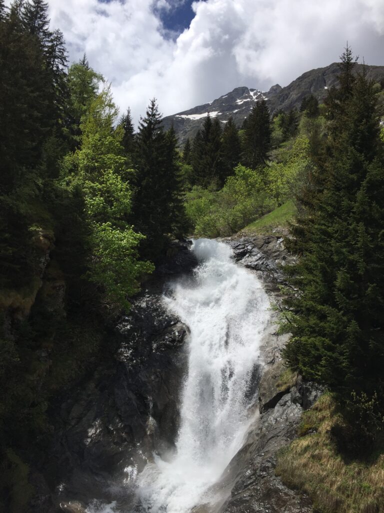
The highlight of the hike is undoubtedly the Himalayan bridge. Spanning a deep, narrow gorge, the bridge is a dizzying 80 metres long and suspended over 40 metres above the valley floor. Crossing the bridge requires a combination of physical and mental strength, as the swaying of the bridge can be disorienting and unnerving. However, the feeling of exhilaration upon reaching the other side is unforgettable.
After crossing the bridge, the trail continues through the beautiful alpine meadows of Villard Notre Dame. This picturesque village is nestled in the heart of the mountains and offers stunning views of the surrounding peaks. The village is also home to a number of charming restaurants and cafes, making it the perfect place to stop for a well-earned lunch.
Overall, the hike from Lac Buclet up the Gorges de Rochail, over the Himalayan bridge, and finishing for lunch in Villard Notre Dame is a truly unforgettable experience. The stunning scenery, challenging terrain, and sense of accomplishment make it a must-do for any hiking enthusiast. It is a testament to the natural beauty and majesty of the French Alps, and a reminder of the importance of preserving these incredible landscapes for future generations to enjoy.


5+ hrs
800 m
Medium
You can find the route and download the GPX here
tour des rousses
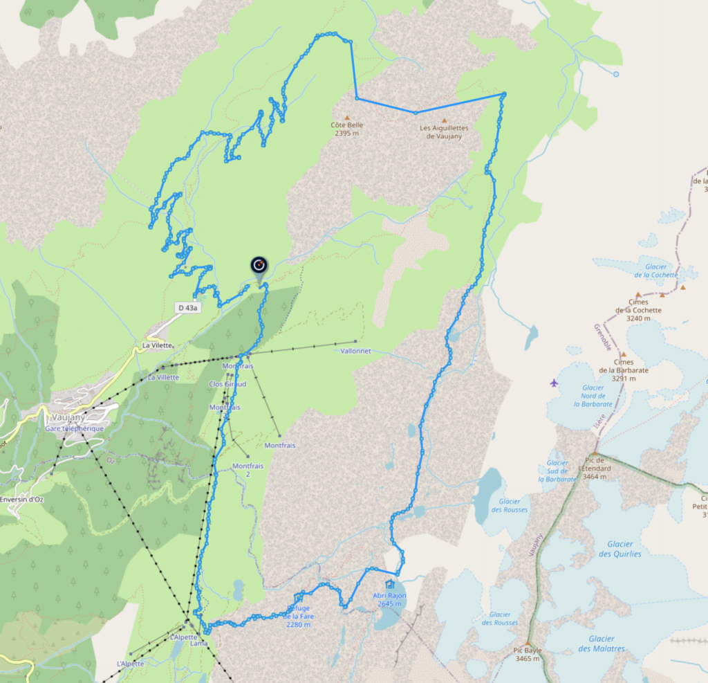
The Tour des Rousses is a beautiful hiking trail that winds its way through the Rousses massif above Vaujany. One of the most popular routes begins in the small village of La Villette, and takes hikers over the Col Sabot, then over the Col Couard, past the Lacs Rousses, descending past the Refuge de la Fare, and finally back down to La Villette.
The trail starts out gently enough, following a narrow path through lush green meadows and past bubbling streams. As you hike further up, you’ll reach the Col Sabot, a high mountain pass that offers stunning views across the lac de grand maison below.
From the Col Sabot, the trail continues to climb, eventually reaching the Col Couard. This is the highest point on the trail, and the views from here are truly spectacular. You’ll be able to see for miles around, with the rolling hills of the Jura Mountains stretching out in every direction.
As you ascend from the Col Couard, you’ll pass by the beautiful Lacs Rousses. These shimmering blue lakes are nestled in a small valley surrounded by rocky peaks, and they make for a great place to stop for a picnic lunch or a quick dip in the water.
There’s an interesting history to area, with the last of the French Resistance being holed up in a cabin by the lake after some intense fighting, which became the highest hospital in the world for a time.
From the Lacs Rousses, the trail leads down towards the Refuge de la Fare. This rustic mountain hut offers basic accommodation and a chance to rest and refuel before continuing on with the hike. As you continue down the trail, you’ll pass through dense forests and across rocky streams, finally emerging back in La Villette.
Overall, the Tour des Rousses is a challenging but incredibly rewarding hike. The scenery is truly breathtaking, with stunning mountain vistas, crystal clear lakes, and dense forests all along the way. Whether you’re an experienced hiker or a beginner looking for a challenge, this trail is definitely worth adding to your bucket list.


8+ hrs
2100 m
Extreme
You can find the route and download the GPX here
